East Finchley is very fortunate. Not only is it close to Hampstead Heath, Highgate Wood and Alexandra Park, well known places to walk, but it has quiet roads and lesser-known public green spaces of its own (many remnants of common land) that can readily be connected together to form a pleasant walk. There are two brooks that flow through Finchley, providing much needed green corridors to a host of other possibilities.
Along Finchley's western boundary is the Dollis Brook, which connects the London Outer Orbital Pathway (LOOP) in the north to Capital Ring in the south.
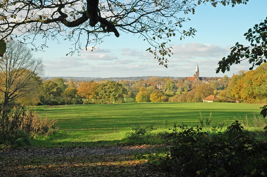
The closest tube station to the Dollis Brook walk is Totteridge and Whetstone. Walk down to pick up the well-signed path. Those of a claustrophobic disposition can turn right for the former wide-open hay fields of Brook Farm Open Space, and even continue north and west as far as Moat Mount.
Otherwise cross the road and turn left into Whetstone Stray. The way is gradually hemmed in by back gardens and eventually you are forced into a short detour (right then left) at Tillingham Way. Just before rejoining the brook you cross the Folly Brook. Off to the right ( on the north bank) is a path to green belt fields, Darland Nature Reserve and Totteridge Village. Be careful - it can be muddy!
On regaining the brook the way is hemmed in by trees and alongside Finchley golf course you cross Lovers Walk. Right would take you up between the golf course to Partingdale Lane, Burtonhole Lane and the Folly Brook. From there you could take the path up to Totteridge and down to pick up the higher reaches of the Dollis Brook: the making of a circular walk. Left up Lovers Walk brings you to Claverley Grove and Victoria Park.
If this hasn’t tempted you, continue along the brook until the walk merges temporarily with the road under Dollis Viaduct and again you have options: left up a path, through St Mary’s church yard to Church End, arguably Finchley’s oldest and most picturesque part. Down Gravel Hill you can access Avenue House Grounds, left to Finchley by Inky Stevens and packed with unusual trees. Alternatively seek out Mill Hill East station. Behind this is the deserted railway track. Use this to connect to Arrandene Open Space or Copthall and Sunnyhill Park, both ‘circular’ possibilities.
Continuing south along the brook past Windsor Open Space eventually you'll meet the confluence with the Mutton Brook (Finchley's other green corridor), the start of the Brent Brook and Capital Ring. Strike left along Capital Ring, up the Mutton Brook for ancient woodlands Little and Big Wood. If you don’t turn left in Big Wood you’ll end up on the Heath Extension but keeping to Capital Ring you’ll follow the Mutton Brook past Lyttleton playing field and on to East Finchley’s Cherry Tree Wood. Continue further to Highgate Wood and you can make a circular walk to Highgate and Hampstead Heath and back to Mutton Brook via the Heath Extension.
Important: for best viewing always save the maps to your desktop and open in Adobe Reader.